academic user
institutional user
user who is either a member of the teaching staff or an enrolled student at a recognized academic institution (typically a university)
accuracy
precision
closeness between the value measured and the true value

acquire
import
+ data
from a data set or data source with which a connection has been established, adding to any existing data
align
+ horizontal surface
with height control point
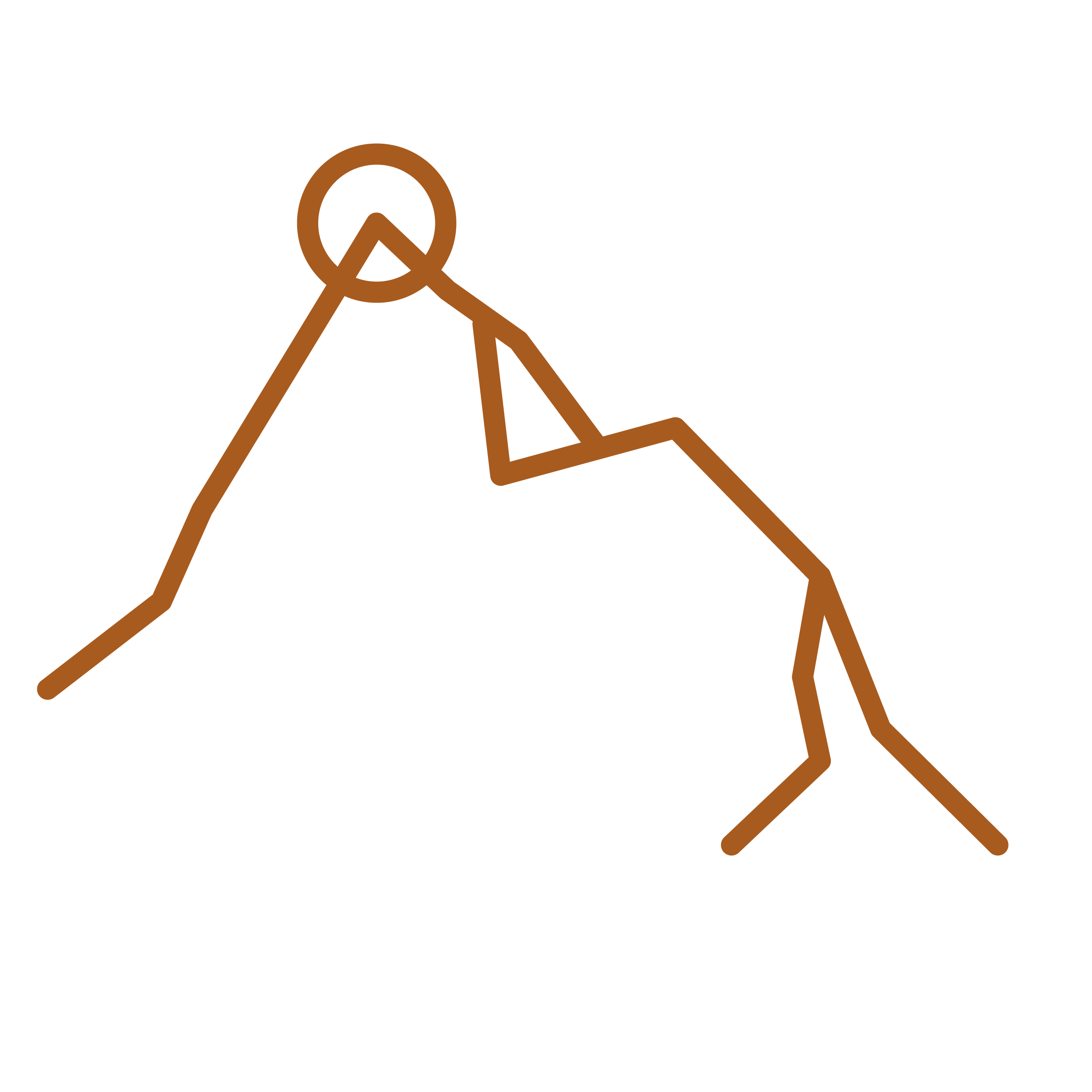
apex
apexes
vertex
vertices
summit
highest point of a feature

categorize
classify
+ points
organize based on their properties into categories defined by the user
cloud-based data
data that is stored and can be accessed remotely, as opposed to locally stored data
compute
calculate
run
process input data to produce an intended output
configuration
settings
preferences
parameters
configure
adjust
+ application
+ project
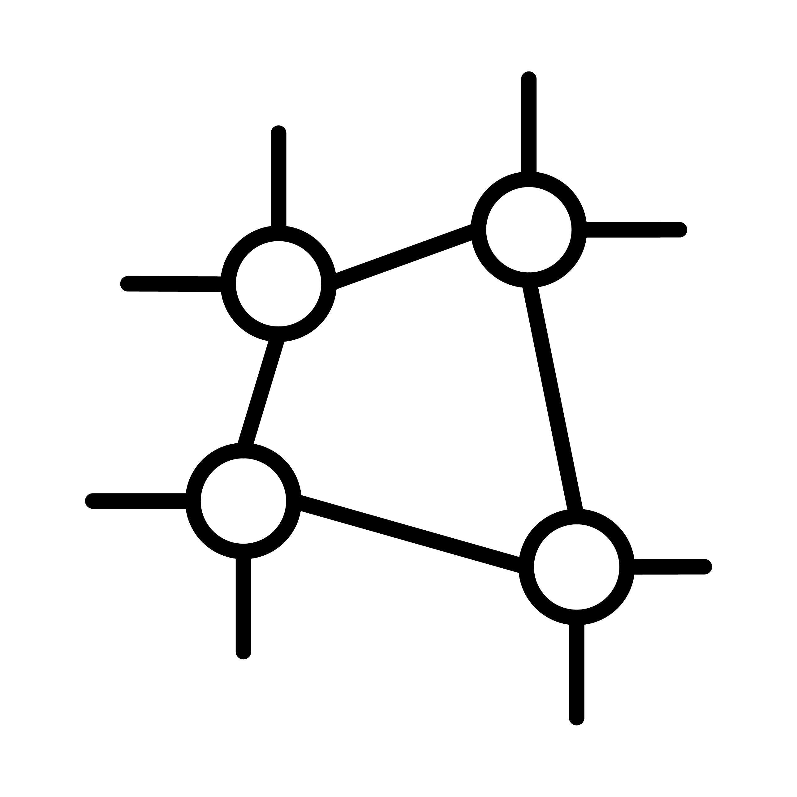
control network
control framework
collection of control points across a region

control point
control station
reference point
ground marker
physically marked point with known, authenticated coordinates; used both as a source of data for further surveying and as a fixed point for detecting any changes (e.g. due to tectonic movements or the introduction of new technology) that need to be applied to an existing survey

control satellite
GPS satellite
satellite orbiting the Earth whose coordinates at a given point in time can be calculated and transmitted as an aid for determining the position of points on Earth
conversion
transformation
operation (using a formula) to transform coordinates compliant with one coordinate system into coordinates compliant with another
coordinate
ordinate
one of the values in a set of coordinates referring to one dimension of a coordinate system; it may be expressed as an angle or distance depending on the coordinate system
coordinate data
multiple sets of coordinates referring to multiple points
coordinate system
a means of referring to the position of a point based on a mathematical relationship with the Earth's shape, using sets of coordinates respecting a specific format, and specifying a point, axis or plane where these coordinates have a value of zero

create new
add
+ point
+ station
data
a collection of properties and values

data set
database
data that is packaged as a file (or group of files) and can be handled as such
data source
source
feed
that can provide data in a continual flow (such as a receiver) or as a packaged data set
date-dependent
only valid at a particular epoch due to tectonic shift
determine
define
+ position
+ coordinate
+ value
seek to establish with certainty
direction
orientation
one component value of a gravitational or magnetic field at a particular point, as represented by a gravitational field model or magnetic field model
distance
linear distance
with a linear value

easting
x
easting value
coordinate that expresses (as a distance) the position of a point eastwards of a reference axis in a plane coordinate system; north-south grid lines have the same easting
ellipsoid
reference ellipsoid
spheroid
geometric model of the Earth's shape that does not take into account its uneven gravitational field; used as the basis for developing a geoid, but was formerly itself adopted as a reference framework in relation to which the values of coordinates were determined
ellipsoidal height
h
ellipsoid height
geometric height
vertical distance between a particular point on the Earth's surface and an ellipsoid surface (perpendicularly to which it is measured)
enrich
+ results
with data
a form of reprocessing
enter
fill in
+ value
epoch
iteration
specific date (quoted, for example, as '2025.4' or 'G2139') when a model or coordinate data is valid
express
define
+ position
state in a form (typically coordinates) that can be read by a human or interpreted by an electronic system

feature
landform
distinctive deviation (natural or artificial) from a horizontal surface; its shape can be expressed using multiple sets of coordinates

generate
develop
+ model
+ output
geocentric
Earth-centred
with angles (such as latitude and longitude) measured in relation to the Earth's centre, rather than perpendicularly to the geoid surface

Geodetica Horizon
version of the surveying software with additional advanced features; licensed for an unlimited period of time

Geodetica Multi
version of the surveying software with all standard functions and full synchronization between a mobile device and a desktop computer; licensed for use by up to 100 devices simultaneously

Geodetica Pioneer
basic version of the surveying software with limited features; licensed for a single device with no possibility of transfer

Geodetica Plus
Geodetica+
version of the surveying software with all standard functions

geographic coordinate system
spherical coordinate system
coordinate system using sets of coordinates formed of a latitude and a longitude; by integrating a height coordinate as a third dimension, a separate vertical coordinate system is not required

geographic north
geodetic north
Conventional International Origin
true north
towards the northern point where the rotational axis of the Earth meets the surface

geoid
geoid model
datum
reference geoid
geodetic system
a model of the Earth's shape, essentially based on an ellipsoid enhanced to take into account the Earth's uneven gravitational field; a particular geoid will be adopted for a project as a reference framework in relation to which the values of coordinates are determined
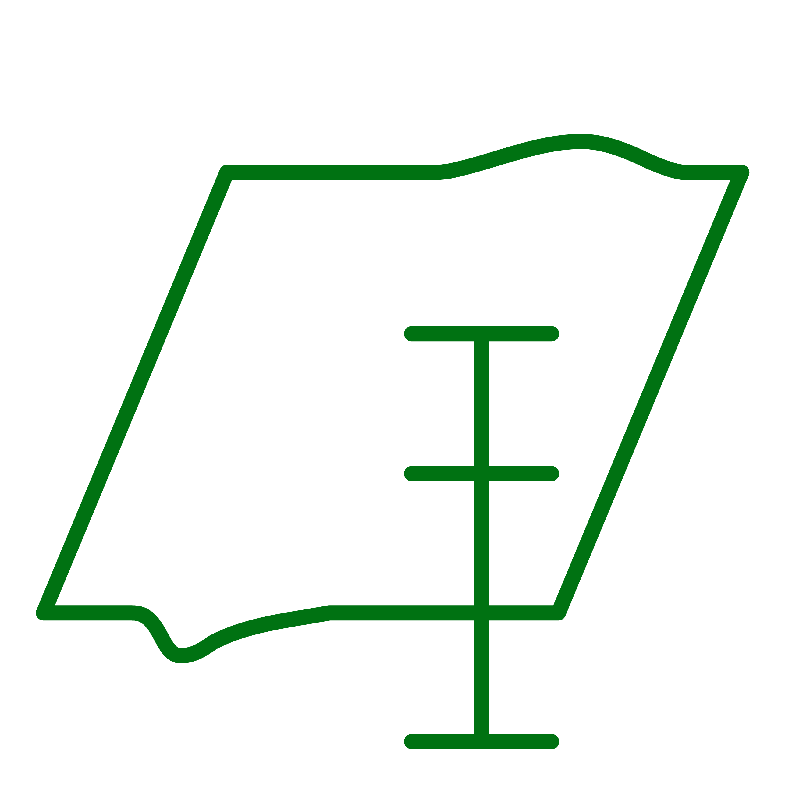
geoid surface
geopotential datum
a zero-height surface defined by the geoid, and therefore taking into account the Earth's gravitational field

geoid-ellipsoid separation
N
geoid undulation
geoid height
vertical distance between an ellipsoid surface and a geoid surface for a particular point on the Earth's surface
geopotential
taking into account the Earth's gravitational field
give preference
to validated data
to authenticated coordinates


grid convergence
convergence angle
meridian convergence
angle between geographic north and grid north at a particular point

grid line intersection
graticule
interval mark
point on a map where a north-south grid line and an east-west grid line cross

grid line spacing
grid line intervals
e.g. kilometre-spaced grid lines forming grid squares with an area of 1 km²

grid lines
manifestation of northings and eastings at regular intervals on a map

grid north
nominally defined by the north-south grid lines on a map

grid-magnetic angle
GMA
grid variation
angle between magnetic north and grid north at a particular point
height
altitude
elevation
position of a point in the vertical dimension; various bases are used to define its direction
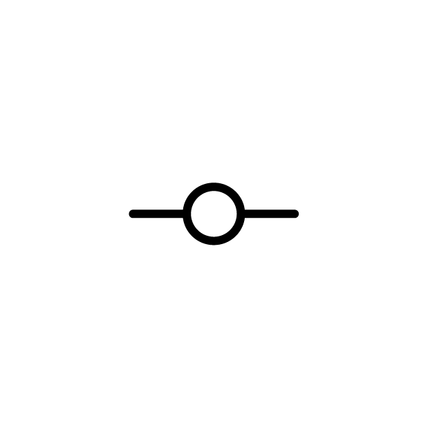
height control point
benchmark
control point with a known, authenticated height in accordance with the zero-height surface
height measurement
altimetry
levelling
single act of measuring

latitude
φ
coordinate that expresses (as an angle) the position of a point northwards or southwards in a geographic coordinate system; the Earth's equator has a latitude of 0°
layer
dimension
of data
licence number
product key
string of 15 numbers and letters unique to each purchase of a licence

link
synch
coordinate
+ points
locally stored data
local data
file-based data
data that is stored on only one device, without updates being propagated more widely

lock
+ points
prevent modifications to their coordinates

longitude
λ
coordinate that expresses (as an angle) the position of a point westwards or eastwards in a geographic coordinate system; the prime meridian passing through Greenwich has a longitude of 0°

magnetic declination
declination angle
magnetic variation
magnetic deviation
angle between magnetic north and geographic north at a particular point


magnetic north
as indicated by compass; slowly moving due to changes within the Earth
magnitude
field strength
force
one component value of a gravitational or magnetic field at a particular point, as represented by a gravitational field model or magnetic field model
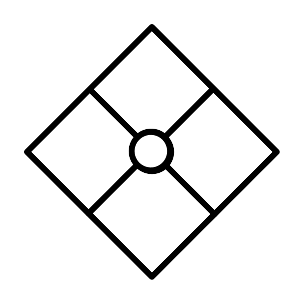
major control point
key reference point
landmark
manually enter
+ values
set one or more values of an individual point, without automatically populating with data from a source
manually modify
adjust
+ values
set one or more values of an individual point that already has values, without automatically populating with data from a source
mathematically impossible
measure
take measurement

measured point
measurement point
point whose position is being measured
measurement
reading
act of measuring the value of some property (height, distance, etc.)
measurement units
(degrees, metres, kilometres)

measuring station
measurement station
observation station
where measurements are performed (of either the same point or remotely of other points)
merge
incorporate
+ data
with data
without overwriting any existing data

meridian
any line running from the geodetic North Pole to the geodetic South Pole of a particular longitude
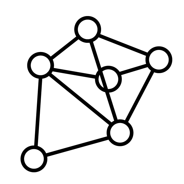
mesh
network
points with lines establishing the distance and direction between them
model
a means of representing and quantifying a physical reality of the Earth (such as the its uneven magnetic field or its complex shape) across its entire surface; ultimately a set of data that can be presented as a map or diagram

northing
y
northing value
coordinate that expresses (as a distance) the position of a point northwards of a reference axis in a plane coordinate system; east-west grid lines have the same northing
offline working
offline mode
may be a deliberate choice of the user or a result of poor network coverage
orthometric height
H
vertical distance (aligned with the direction of gravity) between a particular point on the Earth's surface and a geoid surface (perpendicularly to which it is measured)
overwrite
+ duplicates
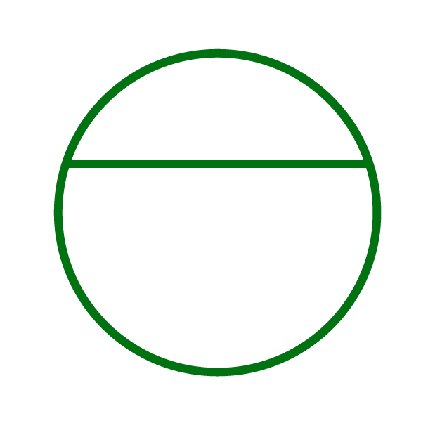
parallel
any east-west line of a particular latitude
parameter
constant
numerical value that remains fixed for an operation, but can be changed by the user (e.g. the parameter representing the semi-major axis of an ellipsoid may be set as 6377563.41, but later changed if a different ellipsoid is adopted)
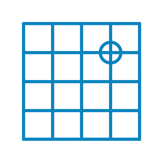
plane coordinate system
grid coordinate system
rectilinear coordinate system
grid reference system
two-dimensional coordinate system based on a projection with sets of coordinates formed of an easting and northing (with linear values and therefore unequally related to longitude and latitude over a given area)

point
p
position
any zero-dimensional physical point whose position can be expressed through a set of coordinates (which may include height); it may be on, under or above the Earth's surface
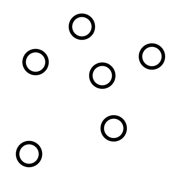
point cloud
set of data recording the three-dimensional position of a set of points (usually millions), but without lines establishing the distances and angles between them
populate
+ points
distribute the values from a data source to the relevant properties of the relevant points
populate
+ selected points
allow the software to allocate data from a confirmed source to the points selected by the user
precision
closeness between values measured by a particular method or device when repeating the same measurement, irrespective of their accuracy
professional user
private user
project
surveying project
survey
a set of related files and settings for the survey of a particular area
project region
survey region
project scope
region considered by the project
projection
map projection
operation (using a formula) to represent the curved surface of the globe as a flat surface compatible with a plane coordinate system and 2D maps but with inevitable distortion of scale
property
field
a characteristic of an entity (such as its longitude, height or tag) that can have a value
rank

receiver
device that interprets a signal (including from satellites)
reference framework
reference system
datum
some notional basis in relation to which the values of coordinates are determined; a geoid is used as a reference framework for modern surveying projects

remote-measuring device
remove
+ point
+ station
satellite connection
satellite link
satellite download
satellite-based positioning
global-positioning system
position data provided by satellites orbiting around the Earth
save
+ file
+ project
scale
ratio between the distance on a map and the real distance to which it corresponds; a 1:25 000 map has a larger scale and shows more detail than a 1:100 000 scale map
scale adjustment
scale correction
scaling
operation to increase or decrease the scale of a region mapped with a plane coordinate system to compensate for distortion resulting from projection
scan
+ terrain
use LiDAR technology to generate a point cloud
secondary control point
secondary marker
secular variation
changes to the Earth's magnetic field over time due to constantly moving magnetic fluids
select
click
from a group or list

selected point
point that an action can be performed on
send electronic version
set horizontal surface
use a laser beam to define a notional horizontal surface (not necessarily aligned with a particular ellipsoid or geoid surface)
set of coordinates
coordinates
coordinate pair
coordinate triplet
grid reference
two or more coordinates that together express the position of a point; their number, order and measurement unit are specified by the coordinate system
signal quality
ability to transmit data, and the accuracy and completeness of the data transmitted
system
several components (such as a reference framework, model and formula) that are jointly used to perform a function
tag
label
text associated with a chosen point to help other users identify it with more ease and speed than its set of coordinates alone
tectonic shift
plate motion
movement of the Earth's tectonic plates, distorting the position of points relative to a reference framework and relative to each other
tectonic shift model
plate motion model
formed of velocity and direction
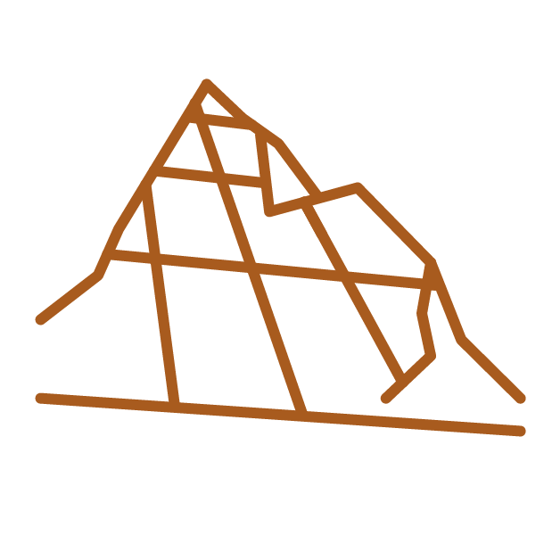
terrain model
topographic model
baseline terrain
baseline model
representing the physical shape of the Earth's surface (including underwater features)
third-party data set
data set provided from outside the company or body undertaking the project

tide gauge
device that records the height of the sea at a fixed point over an extended period of time to produce a mean sea level, which is taken into consideration, together with data from other tide gauges, when defining the geoid surface
to x-centimetre accuracy
to x cm accuracy

translation
transposition
shift
operation (using a vector) to change the position of coordinates in a particular direction by a particular distance, for example to adjust for tectonic shift
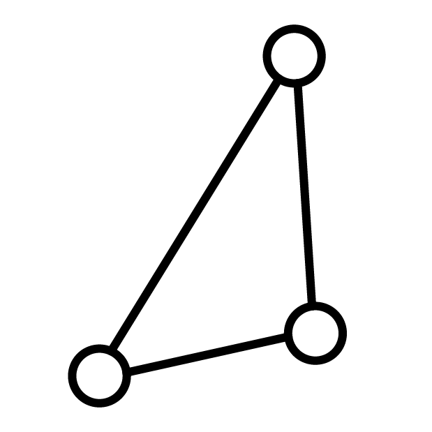
triangulation
technique for determining the position of a point from three known angles and one known distance
trigonometric calculation
a particular operation performed on a set of data
trigonometry
technique that can be used to calculate the distance between points

unlock
+ points
value
the data (such as 64° 29', 373.600 m or Pierre du Niton) assigned to a particular property of a particular point; either manually entered or acquired from a measurement, a calculation, a source such as a satellite, an existing reference or third-party data set
velocity
magnitude
component of a tectonic shift model that expresses the rate (as a distance per year) at which tectonic shift is occurring at a particular point
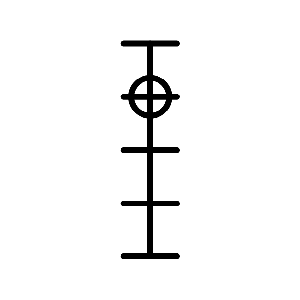
vertical coordinate system
height coordinate system
one-dimensional coordinate system using a single coordinate to express the position of a point in the vertical dimension (which corresponds to its height)
view
consult
+ data
view
+ preview
+ model
visually
using a user's vision to make a judgement or record a value
workflow
sequence of processes of a project, from its creation and setup to the final desired output
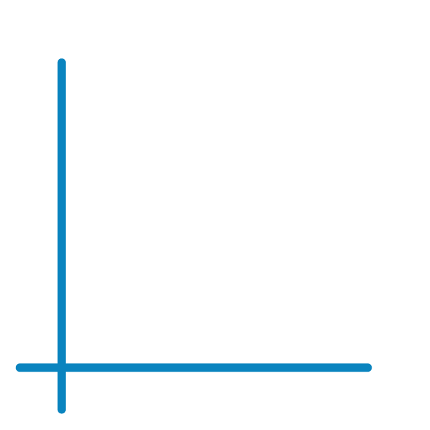
zero-easting axis
x₀
reference axis
the north-south line with a value of zero from which eastings are measured in a plane coordinate system; does not necessarily appear on any map produced
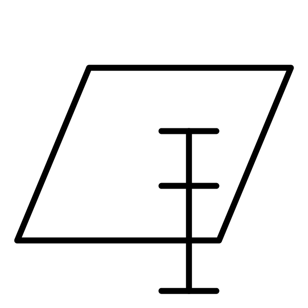
zero-height surface
vertical reference surface
horizontal reference plane
reference height
height datum
vertical datum
baseline
a notional surface with a height of zero in relation to which the heights of points on the Earth's surface are measured; modern surveying uses the geoid surface for this purpose
zero-latitude plane
φ₀
equatorial plane
standard parallel
a plane with a latitude assigned the value of zero for the purposes of a surveying project, in relation to which the latitudes of points will be determined; world maps typically adopt a plane intersecting with the Earth's surface at its equator
zero-longitude plane
λ₀
principal meridian
prime meridian
meridian ellipse
origin of longitudes
a plane with a longitude assigned the value of zero for the purposes of a surveying project, in relation to which the longitudes of points will be determined; world maps typically adopt a plane passing through Greenwich
zero-northing axis
y₀
reference axis
the east-west line with a value of zero from which northings are measured in a plane coordinate system; does not necessarily appear on any map produced
LEXIK © 2023